First Amble in Mérida

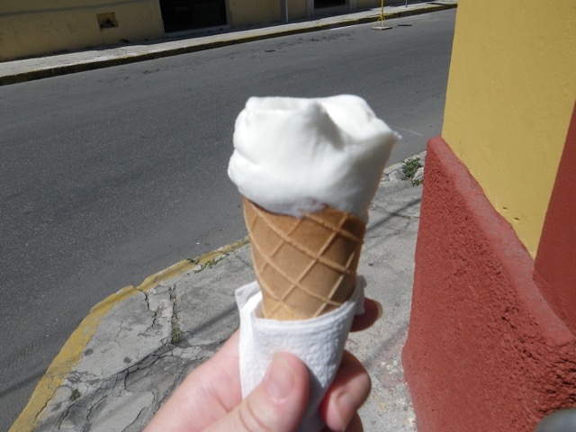
After this morning’s post, I headed down Mérida’s famed Paseo de Montejo, a beautiful boulevard, to find the nearby Waldo’s to get a few more things for my place. I was really hoping to find ice cream quickly and was delighted when I got to the corner of my street and the busier 35 that a man on a peddle cart was headed my way. Could I be that lucky? Yes! He had ice cream cones! I flagged him down and asked what he had. Coconut ice cream. Yum! A small cone was just $10. It looks quite melty in the picture, but it wasn’t at all.

IMGP2908

I had to make a few turns until I got to the Paseo de Montejo.

IMGP2909

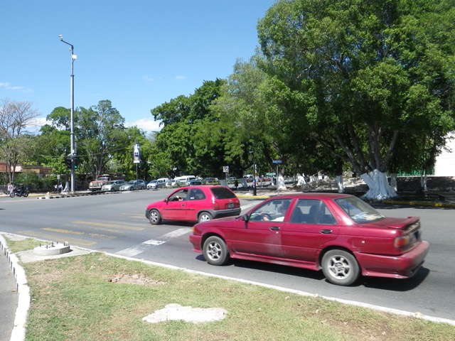
And crossed my first of several scary intersections. I do have to give kudos for there being crosswalks showing exactly where to risk your life and I actually found the drivers here more respectful of pedestrians than what I’m used to in Maz.

IMGP2910

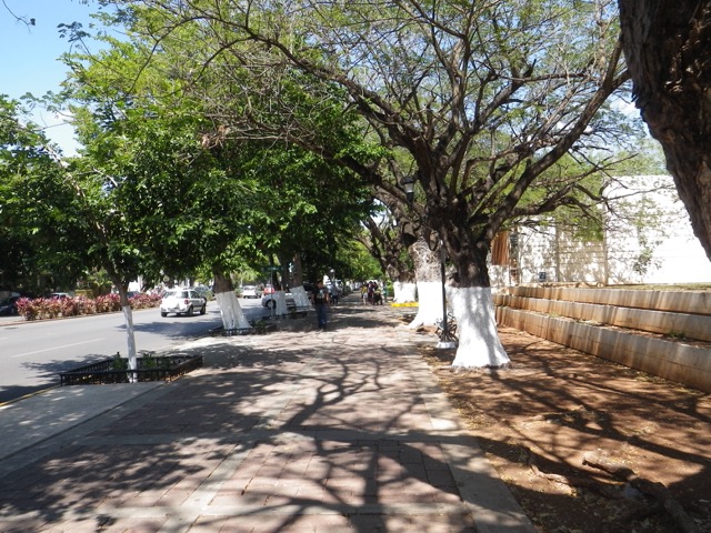
It was scorching out, so this short tree covered stretch was welcome!

IMGP2911

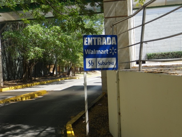
I am literally around the corner from Walmart. Pity I don’t like Mexican Walmarts at all. I always come out feeling that they don’t have anything and what they do have is expensive.

IMGP2912

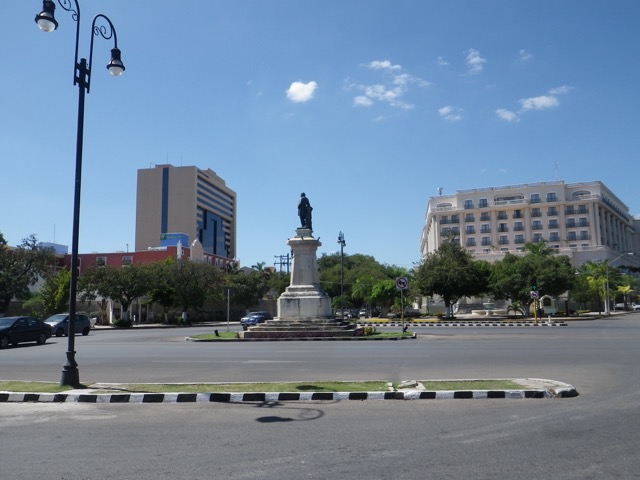
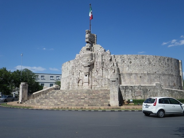
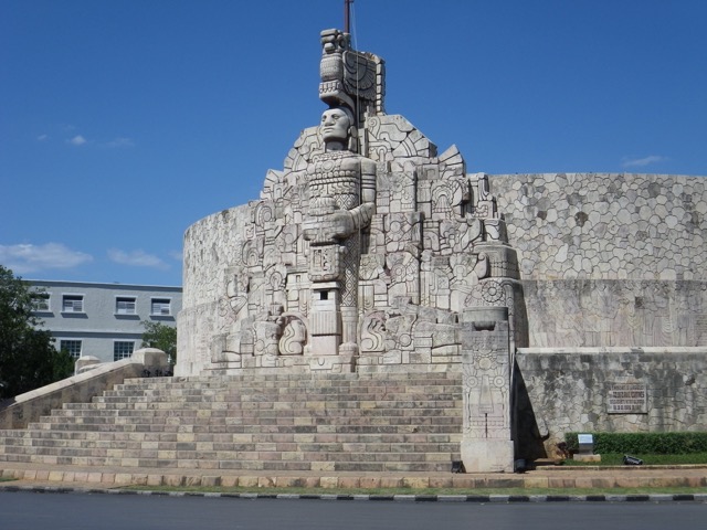
The next roundabout had some amazing rock work:

IMGP2913

IMGP2914

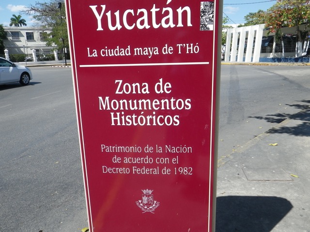
I was apparently in the “historic monument zone.”

IMGP2915

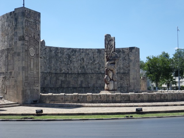
Other side of the roundabout:

IMGP2916

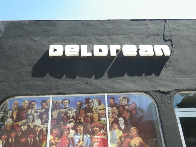
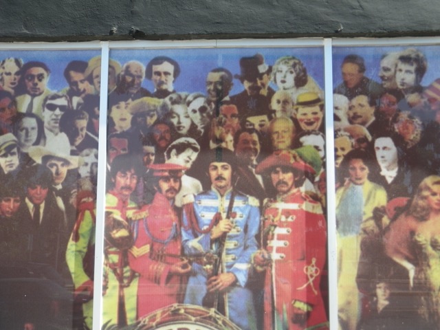
I passed an establishment called Delorean. How many famous faces can you spot in the picture below? Front centre are the Beatles and way above them is Edgar Allan Poe. I suppose the name of the place rather explains the strange cast of characters. 🙂

IMGP2917

IMGP2918

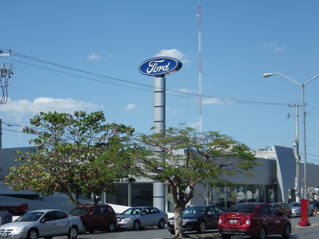
This Ford dealership is very likely going to be where I buy my next vehicle! What I want is 10,000CAD cheaper in Mexico and has options, like a manual transmission, that I can’t even get back in Canada.

IMGP2919

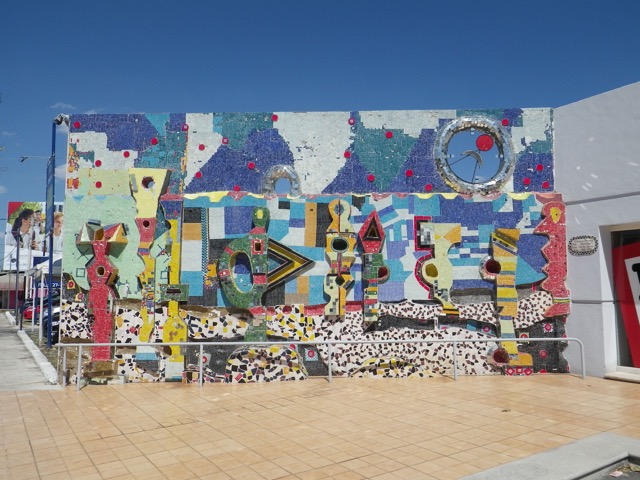
This mosaic was gorgeous:

IMGP2920

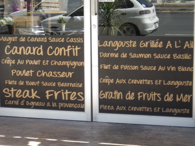
This restaurant has a menu written on the door in French:

IMGP2921

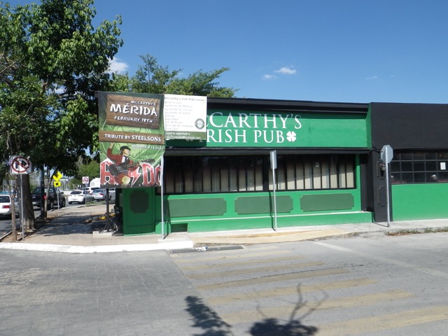
Oh, look, a pub! I’ll have to see if they’re open one of these evenings! I’ve missed living near a pub that I can walk to.

IMGP2922

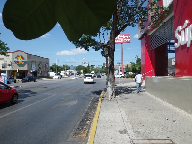
Two and a half kilometres from home, I found this trifeca: a huge Waldo’s, an Office Deport, and a good Soriana-style grocery store. Of course, I can’t remember the name of said store now! Starts with an A!

IMGP2923

I went into Waldo’s and got a few things, then went to the grocery store to buy a pot and see what they were selling. They had hummus, but it’s labeled as “botana arabe” (Arabic snack) here. No, I didn’t buy any to try it. 🙂

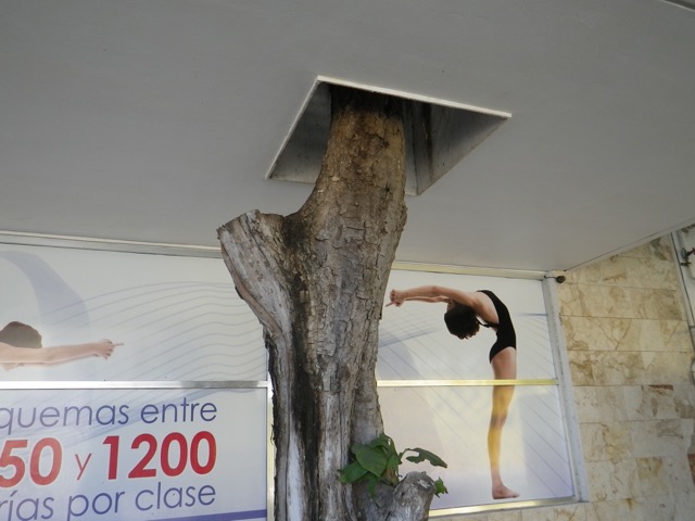
I took one road over from Paseo de Montejo to get part of the way home and came across this gem. Too bad the tree seems to have died on them!

IMGP2924

As I approached my turnoff on Paseo de Montejo, I remembered that I have a garrafón of water coming, so I popped into Walmart to get a pump for it. They’re just $40, so I don’t mind picking one up and this way I know it’s clean. I checked out the kitchen wares and they were dismal. The pot I’d picked up was super cheap ($65) and there was nowhere near anything at that price for that quality at Walmart.

I got in and made a quick lunch (using my new pot!). I failed at finding a potential spot to have dinner tonight, so I need to get on Google for that. I’ve already walked at least 10KM today, so I hope to find somewhere nearby!

It’s really hot, but no worse than in Maz, and I’m used to the sun now so I don’t burn as easily, even through sunscreen. I’m just going to hang out here at the apartment for a bit and relax since I’m beat. Time to research some touristy stuff I could possibly do tomorrow. 🙂

Scobey, MT, to Gillette, WY (and Devils Tower National Monument at Very, Very, Very Long Last)

My first stop after the border was fuel, which was only about $2.74, and which would be very likely the most expensive I’d experience on the U.S. leg of my trip, a very good start!

There’s basically nothing in this part of Montana, so I just drove and drove and drove until I got to Miles City, where I had a quick lunch and checked in that I’d made it across the border.

Then, there was a whole lot more of nothing as I headed towards the Wyoming border, stopping in Broadus for more fuel.

This part of Wyoming is just like home, only with more trees!

I caught my first glimpse of Devils Tower around 3:15, from an angle I’d never seen in pictures, with it rising above the tree tops like a shark’s fin.

IMGP2482

I was exhausted by this point and so disappointed to finally be there in absolutely perfect hiking weather so late in the day. The views from the highway were quite good and I decided that I wouldn’t get my $10’s worth out of the access fee. But just before the turnoff to the entrance to the monument, I had a thought: my interagency pass that I bought last year! I pulled over and took it out of my centre console (I can’t believe I still had it so handy!). October 2015 was punched out. I couldn’t remember if that meant the card was good till the end of September or the end of October so I went to the entrance to find out. It was still valid all the rest of this month! So I drove the 3 miles up to the base of the monument.

Finally saw some fall colours on the way!

IMGP2486

IMGP2487

The monument is a place of immense power. It’s not just a bunch of rock columns popping out of the ground. I’m so glad I got closer because I couldn’t see the incredible textures until I got up close.

IMGP2488

IMGP2489

At its base is a boulder field that reminded me of the Chilkhoot Trail. (For those who track such things, that is NOT once ubiquitous pink hoodie. I found a similar one in my new size and it was like meeting up with an old friend! And I have no idea why I’m leaning that way…)

IMGP2496

Even though I was mentally exhausted, I had physical energy to burn, so I decided to do the 2KM hike around the base of the monument! It’s all paved, but hilly. There were places with amazing views to the valley below. I enjoyed the fresh air and scent of the ponderosa pines.

IMGP2500

I was surprised by the colour of the monument, a bright lime green.

IMGP2513

I could imagine people taking shelter from the rain under this overhang.

IMGP2516

Wonder what these holes were for…

IMGP2517

I had fun watching this little guy eat his lunch.

IMGP2518

There hasn’t been a major rock fall from the monument since 1906, so these boulders predate then.

IMGP2525

The monument is a tricky place for the Parks Service to manage. They consider rock climbing an acceptable sport, but that clashes with Native American beliefs in the holy nature of the site. A compromise is that there is no climbing of the monument during the entire month of June. A permit is required to climb to the top and you have to check in when you get down. Needless to say, there’s no chance of my ever seeing the top, but it’s apparently a fairly level surface about the size of a football field.

Detouring to Devils Tower was definitely worth my time today and I’m very grateful that my interagency pass was still valid.

From there, it was an hour to Gillette. I was in absolutely no mood to shop for a room, so I took the first one I enquired about and then walked across the street to the Applebee’s for dinner. I haven’t been there in a year and boy as it changed! Most of the menu is the same, but it is now really crazy expensive! The steak dinner I was looking forward to that would have cost $15 with a beer and the tip a year ago would have been over $30 tonight! Forget that! I ordered their beer special for $2.50, thinking it would be a tiny glass, and it was HUGE. Exactly what I wanted after a long day on the road! I chose a reasonably priced chicken and bacon wrap that was really delicious and satisfying. Got back to the hotel and the lady at the desk insisted on giving me a cookie (a soft chocolate one with white chocolate chips, hard to resist), so I had dessert, too. 🙂

Tomorrow is going to be another very long haul and I have two shopping stops to make so I’m going to turn in early and hope that I sleep well and can be on my way earlyish, and by that, I mean no later than 9:00, although, really, it should be 7:00. Hopefully, the traffic through Denver will be okay. I really should have done another hour today, but Gillette really was my limit!

Mount Rushmore National Memorial

After lunch today, the gals and I piled into the truck for the extremely long and tedious two mile drive to Mount Rushmore National Memorial. That’s sarcasm folks; we could see ‘the boys’ from the campground!

Mount Rushmore was conceived by South Dakota historian Doane Robinson to bring tourism to the Black Hills. Yes, it was a meant to be a tourist trap. 🙂 The idea was to carve the likenesses of famous figures from the west, but the idea was refined when Danish sculptor Gutzon Borglum was chosen to execute the project. He chose the site and the figures that would be represented. He selected four presidents who symbolize the principles of liberty and freedom on which the United States were founded. George Washington represents the fight for independence and the birth of the country. Thomas Jefferson represents territorial expansion. Abraham Lincoln represents the permanent union and equality of citizens. Theodore Roosevelt represents the 20th century role of the United States in world affairs.

The whole Black Hills region is a tourist trap, so I wasn’t too sure about whether it would be worth paying the $11 parking fee to get into the memorial when you could see Washington, Lincoln, and Jefferson so clearly from many vantage points. I also had a real issue with the fact that the National Parks Service heavily promotes the memorial as being free to visit, making folks jump through hoops and multiple sites to get to information on parking fees. You get a lot of your $11 ‘parking fee,’ which is valid for a full calendar year, so it’s absolutely and totally worth paying it. But tourists aren’t going to differentiate between admission and parking and you can’t really walk to the memorial, so stop saying it’s ‘free.’ End rant.

Entrance to the site.

View from the amphitheatre.

View from the amphitheatre.

You really can’t appreciate the details of the sculptures unless you’re up close. They are so lifelike it is almost eerie!

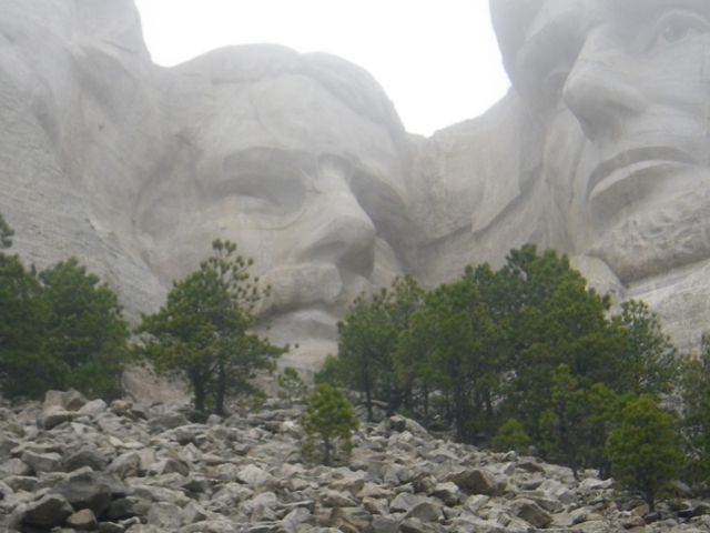
We got so lucky in that we arrived literally minutes before the statues were socked in with fog!

You can walk the Presidential Trail and climb 250 steps to another vantage point. The angle is just subtly different enough that it seems like the presidents have moved!

Slightly different angle from the viewing platform.

Slightly different angle from the viewing platform.

The compressor that powered all the tools.

The compressor that powered all the tools.

Scale model; one inch here represents one foot on the mountain.

Scale model; one inch here represents one foot on the mountain.

Plaster mould used as a measurement guide.

Plaster mould used as a measurement guide.

Roosevelt was the last head completed.

Roosevelt was the last head completed.

Looking back to the amphitheatre.

Looking back to the amphitheatre.

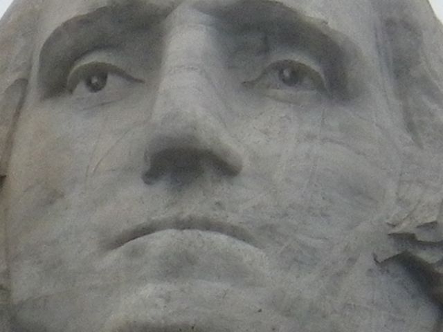
Look at the detail. His eyes look alive!

Look at the detail. His eyes look alive!

Washington looks alive.

Washington looks rather regal.

Notice Roosevelt's glasses?

Notice Roosevelt’s glasses?

Jefferson is lost in thought.

Jefferson is lost in thought.

Mount Rushmore is such an iconic location. Who can forget Cary Grant and Eva Marie Saint dangling from President Washington in ‘North By Northwest’? I’m really glad that I saw the statues up close because you really cannot appreciate the details from afar. They are truly works of art.

Also on site is the sculptor’s studio, where you can see the model that was used to guide the sculptor on the mountain. There is also a really good museum with a movie about the building of the statues and how this impressive feat was accomplished (tons of dynamite and lots of math!). Incredibly, there were no fatalities during construction and no major injuries!

But guess what the icing on the proverbial cake was today? I got to speak with one of the drillers who worked on mostly Lincoln and Roosevelt! He remembers the experience like it was yesterday.

A Taste of Bandelier National Monument

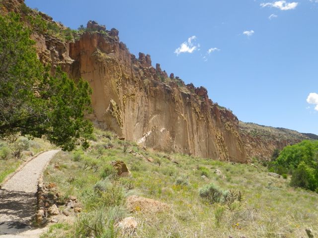
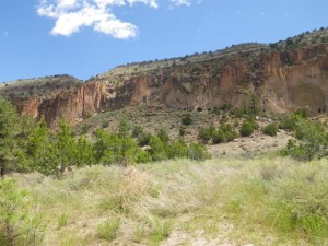
Bandelier National Monument lies just an hour or so northwestish of Santa Fe and is huge open country of mountains and mesas scattered with archeological ruins, cave dwellings, and petroglyphs. So pretty much my idea of heaven. I knew I couldn’t do justice to the more than 70 miles of hiking trails in the monument, but decided to at least go do the main day hike that would occupy a few hours.

The monument is named for Adolph Bandelier, a Swiss-born scholar who came to the southwest at 40 to fulfill his dream of studying the native peoples of the area. He learned many of the local native languages and in 1880 was the first person to report on the peoples of the Frijoles Canyon, where the monument that bears his name is located.

There was a lineup of cars ahead of me that took the same picture.

There was a lineup of cars ahead of me that took the same picture.

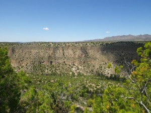
The scenic lookout was... scenic.

The scenic lookout was… scenic.

I love the mesas.

I love the mesas.

The shadows were impressive.

The shadows were impressive.

By the time I arrived around 11:00, the place was packed. A ranger guided me into an overflow parking spot I was certain I could not get out of and then told me to go into the visitors’ centre to register my annual pass, then come back and hang my pass from my rearview mirror. Without a pass, access is $12 per carload, good for a week. If you want a trail guide for the two day hikes, they are $1 and $1.50 each. Please don’t be cheap and not get them, otherwise you won’t get much out of the hikes. After two Japanese tourists kept asking me, “What’s that?” I gently told them that they needed to go back for a guide, they did, and they thanked me for it.

The hike I did today is called the ‘Main Loop Trail’, with the addition of the Alcove House spur. The literature say that this should fill about two hours and it took me closer to three because I read everything and went up every ladder. Every ladder? Read on. Those with a fear of heights may wish to stop here. 😀

The visitors' centre is built into what was once a guest ranch.
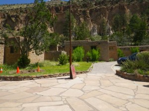
The visitors’ centre is built into what was once a guest ranch.

I'm really falling in love with this style of architecture.
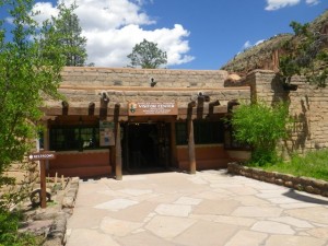
I’m really falling in love with this style of architecture.

The visitors' centre.

The visitors’ centre.

I thought this exhibit about not leaving any trash was quite clever.

I thought this exhibit about not leaving any trash was quite clever.

The 'Latin names' were the best.

The ‘Latin names’ were the best.

Depositus nonreturnii.

Depositus nonreturnii.

Proboscus wipus was my favourite.
Proboscus wipus was my favourite.

Starting the hike.

Starting the hike.

You start the hike on the floor of the valley and then climb up to the cliff dwellings.
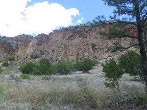
Frijoles Canyon means Bean Canyon.

Frijoles Canyon means Bean Canyon.

Kiva.

Kiva.

Lovely contrast of textures.

Lovely contrast of textures.

Village ruins.

Village ruins.

Looking to the cliff dwellings.

Looking to the cliff dwellings.

Another kiva.

Another kiva.

Approaching the cliff dwellings.
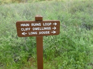
Approaching the cliff dwellings.

Take the longer path is my motto.

Take the longer path is my motto.

Only enter caves that have ladders? This is going to be fun!

Only enter caves that have ladders? This is going to be fun!

Stairs carved into stone.

Stairs carved into stone.

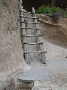
First ladder.

First ladder.

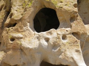
Small cozy cave.

Small cozy cave.

It would have been a lot of work to excavate the caves using only tone tools.

It would have been a lot of work to excavate the caves using only stone tools.
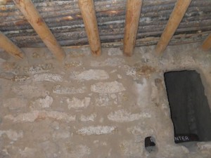
Looking into a reconstructed ruin; the architecture is quite sophisticated.
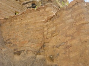
Looking into a reconstructed ruin; the architecture is quite sophisticated.

Look at that masonry!

Look at that masonry!

I like how the vigas (beams) stick out.
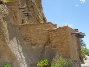
I like how the vigas (beams) stick out.

It impresses me that they built structures with several stories.
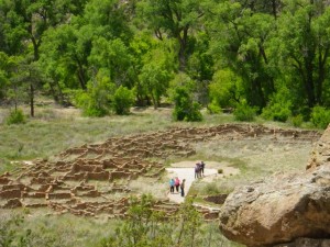
It impresses me that they built structures with several stories.

The layout of the village below becomes clearer.

The layout of the village below becomes clearer. The first floor had 240 small rooms and there is evidence that there were several stories above.

Impressive rock formation.

Impressive rock formation.

Looking back to the masonry.

Looking back to the masonry.

Pictogram of a snake, a major feature of these people's religion.

Pictogram of a snake, a major feature of these people’s religion.

Ladder into the larger home.

Ladder into the larger home.

Just room after room. All of us in it kept joking about what prime real estate it was.

Just room after room. All of us in it kept joking about what prime real estate it was.

"Oh, look, another bedroom!"

“Oh, look, another bedroom!”

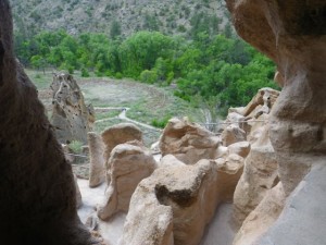
View to the village below.
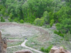
View to the village below.

Makes you realise that European and Native American development really wasn't that far apart.

Makes you realise that European and Native American development really wasn’t that far apart.

So much living happened in this cave.
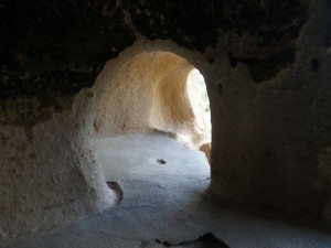
So much living happened in this cave.

"I think this was the dining room. I mean, look at that view!"

“I think this was the dining room. I mean, look at that view!”
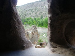
"Nah, maybe the living room."

“Nah, maybe the living room.”

More cool rocks.

More cool rocks.

More twisty narrow stone steps.

More twisty narrow stone steps.

Climbing into the reconstructed caveate.

Climbing into the reconstructed caveate.

Anchor points for the looms.
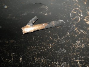
Anchor points for the looms.

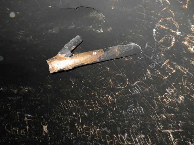
Not original soot. They have to smoke the room every few years to get rid of the graffiti.

Not original soot. They have to smoke the room every few years to get rid of the graffiti.

The view is growing on me. I think I want to move to a cliff dwelling.
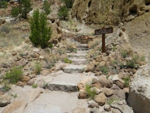
The view is growing on me. I think I want to move to a cliff dwelling.

Path to a campground. I did not follow it. This used to be the only way into the valley to get to the ranch where the visitors' centre is located.

Path to a campground. I did not follow it. This used to be the only way into the valley to get to the ranch where the visitors’ centre is located.
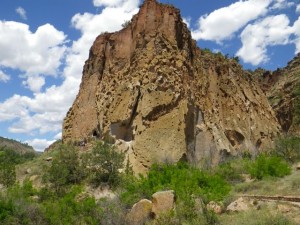
Towering mountains.

Towering mountains.

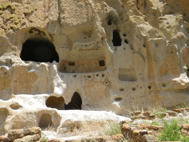
It's like an apartment complex.

It’s like an apartment complex.

So many foundations.

So many foundations.

The holes represent a floor. Can you see the petroglyph in between?

The holes represent a floor. Can you see the petroglyph in between?

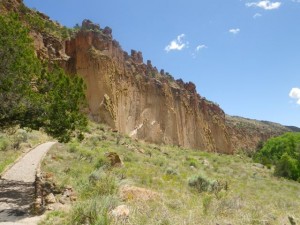
This painting was found behind layers of plaster.
This painting was found behind layers of plaster.

Looking back to the cliff dwellings.

Looking back to the cliff dwellings.

In bad weather, you have to turn back at the end of the cliff dwellings and go back the way you came. In good weather, you can walk back down to the valley and do a loop back to the vistors’ centre. You have to cross the river several times if you end up doing the Alcove House Spur.

This guy was very nice and posed for several pictures.

This guy was very nice and posed for several pictures.

2012 floodwaters reached this level.

2012 floodwaters reached this level.

The damage from the flood is still visible.

The damage from the flood is still visible.

These 'bridges' brought back memories of the Chilkoot Trail!

These ‘bridges’ brought back memories of the Chilkoot Trail!

I eventually came to the point where I had to make an important decision.

Time to decide if I'm doing the Alcove House spur...

Time to decide if I’m doing the Alcove House spur…

140 ft of vertical ascent not suited to those with fears of heights? I'm over my fear of heights (mostly) aren't I? Let's go check it out!

140 ft of vertical ascent not suited to those with fears of heights? I’m over my fear of heights (mostly) aren’t I? Let’s go check it out!

The spur is through forest. There are so many ecosystems in this small section of the monument.
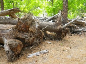
More debris from the flood.

More debris from the flood.

It was all moved out of the way.

It was all moved out of the way.

More cliff dwellings.
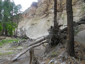
More cliff dwellings.

More flood damage.

More flood damage.

Impressive contrast of colours and textures.

Impressive contrast of colours and textures.

Yet more cliff dwellings.

Yet more cliff dwellings.

Last warning.

Last warning.

In case the signage hasn’t been clear, it’s four ladders, a few staircases, and 140ft straight up a cliff to check out Alcove House…

Oh, I can do this. Up I go.
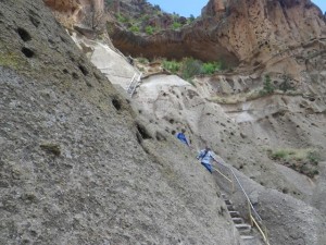
Oh, I can do this. Up I go.

That looks doable.

That looks doable.

I had to wait at the second ladder for a terrified man to come down. It took ages. Everyone at the bottom told him great job, way to go, you should be so proud of yourself, etc., but he just looked down in shame, focusing on the fact that he was afraid, not that he had conquered his fear. 🙁

This ladder’s challenge was that it’s slightly tilted, so you feel like you might slide off.

That doesn't look so bad.

That doesn’t look so bad.

I made it!

I made it!

Down is starting to look far away.

Down is starting to look far away.

Okay, that's pretty tall, but I've come this far.

Okay, that’s pretty tall, but I’ve come this far.

I should have taken a short break before doing that third ladder, the longest of the four, as my legs got shaky midway, but I pushed on. I wasn’t afraid, just tired.
Pfft, that's nothing.

Pfft, that’s nothing.

Almost there!

Almost there!

A few steps and...

A few steps and…

A kiva is the first thing I take a picture of?!

A kiva is the first thing I take a picture of?!

Ah, now, THAT was worth the climb!

Ah, now, THAT was worth the climb!

Wow!

Wow!

I'm obsessed with kivas, apparently.

I’m obsessed with kivas, apparently.

So worth the workout!

So worth the workout!

Looking back as I head down.
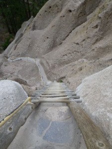
Looking back as I head down.

It looks really bad from that angle!

It looks really bad from that angle!

The ladders were all anchored, so they felt safe. The super long one felt interminable to climb down, but the others were fine. It would have been easier if the rungs had been a bit closer together. I wasn’t even apprehensive. How far I’ve come!

My knee had had just about enough abuse by the time I got to back down, but the climb up was so worth it! And it was such fun. I love trails like these!

It was then time to head back to my truck.

More flood debris.

More flood debris.

Magnificent.

Magnificent.

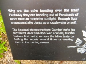
They still have signage that call the local peoples Anasazi, a word of Navajo origin that has fallen out of favour because it means something like, 'Our bitter enemies.'

They still have signage that call the local peoples Anasazi, a word of Navajo origin that has fallen out of favour because it means something like, ‘Our bitter enemies.’

Wish this path was part of the trail.

Wish this path was part of the trail.

Back at the visitors' centre.

Back at the visitors’ centre.

Thankfully, the car next to me was gone when I was ready to pull out, so I had only had to do a little manoeuvring to get out. It was a rare case where I would have been better off to nose into a spot and back out of it, but it all worked out in the end.

My taste of Bandelier National Monument was delightful, but not quite enough. I’d love to come back and do a full day hike next year!

Santa Fe, NM, to Walsenburg, CO

I’ve decided to split my day up into two posts. The more interesting one will follow. 🙂

Unfortunately, I got to bed very late last night, a combination of having dinner with John (I cooked and he can attest to the fact that I can cook, even with a very limited pantry! 🙂 ) and the File From Hell that would not finish. So it was a slow and molassy kind of morning for me. My to-do list felt daunting — finish packing up the fifty billion bags I brought into the rig, schlep them all the way to my truck and repack it (John fixed my tailgate again, btw, THANK YOU!!!), and then clean the rig and throw on laundry. Of course, it all came together very quickly. I was ready to pull out at about 9:30, an hour and a half later than I would have liked, but still a half hour ahead of my ‘this is the absolute latest I want to leave’ hour.

John and I both tried to figure out how long I’d been there and drew a blank. I later figured out it was 12 days!!!. My Santa Fe stay really felt like a moment out of time. I am really grateful to have been there as it enabled me to recharge my batteries and my bank account a little as well as do loads of touristy stuff. It was definitely time to move on, but John said I was welcome to return if I wanted to tonight since my day’s fun was to be had not very far down the road. It’s nice to feel that welcome. 🙂

After getting fuel, it was time to head to Bandelier National Monument, the subject of my next post.

It's unbelievable the places my life takes me...

It’s unbelievable the places my life takes me…

IMGP1828

Right to Bandelier!

Right to Bandelier!

IMGP1979

After several hours of fun that I am convinced Disney World couldn’t rival, I decided to go to Los Alamos for lunch and a bit of tourism.

Los Alamos has great significance for me. Judy Blume’s book Tiger Eyes was one of the defining stories of my adolescence. I must have retreated to this story set primarily in Los Alamos more than a hundred times. It painted a world that was absolutely alien to me and I promised myself that if I ever was in the area, I would check out the town and its environs.

I thought I’d done my research and that Los Alamos is now open, with no more guard houses and plenty of museums and other touristy things to do. So imagine my surprise when there was a checkpoint coming into the town. A surely woman asked me where I was going. I told her the truth, going downtown to have lunch and visit the museums. “You’re on government property. I need to see your ID,” she replied. I handed her my passport and she told me to turn around and go the way I came. So, that was that for Los Alamos. Can’t say I didn’t try. 🙂 But I did see the canyons that Judy Blume paints so well with words and they were exactly as I expected. I’m not disappointed about not seeing the town as I doubt it would have borne any resemblance to the the 1970’s town she described.

It was then time to head northeast.

Last chance to go back to John's for the night!

Last chance to go back to John’s for the night!

IMGP1982

IMGP1984

I put Mount Rushmore into my GPS and it plotted out the same route I had to I-25 and beyond, so I followed its directions, heading northeast through mountain passes. Traffic was very slow through the tourist town of Taos and I had no desire to stop.

Quesnel Road! I wonder how they pronounce Quesnel here.

Quesnel Road! I wonder how they pronounce Quesnel here.

From the mountains, I eventually emerged into a plateau as I entered Colorado. I went to three places in 1996, Quebec City, Colorado, and New York City. If I had known then that of the three, Colorado is the first one I would return to a second time, I would not have believed it.

IMGP1988

Colorado was looking a lot like Florida the last time I was there. :)

Colorado was looking a lot like Florida the last time I was there. 🙂

Snow capped peaks in the distance.

Snow capped peaks in the distance.

I didn’t want to drive too much today and hoped to stop around 4:00. But motels were far apart and expensive. I decided that I was stopping in Walsenburg, CO, no matter the prices. By the time I got there around 6:45, I’d seen about four roach motels wanting more than 80CAD a night. Google told me that the average price in Walsenburg was about that. So when the first place I stopped in was clean, neat, and 60CAD, my maximum budget, I was done for the day! BTW, it’s cold and rainy; not truck camping weather at all!

Having done so much exercise today, I needed a proper dinner, so I walked the block to a sit down Mexican restaurant. I ordered a beer (Budweiser!) and wasn’t asked for ID. Mexico officially aged me! 😀 The menu was uninspiring, just your typical ‘Mexican’ and American fare, so I ordered the two enchilada special (opting for chicken with green sauce). It was tasty enough, spicy as hell, and a good deal for the price ($7). The beer brought the tab up to $10.30 with the tax, still a very reasonable price. The enchiladas were topped with cheese, lettuce, tomato, and… black olives. Strange. I started to eat olives last summer and haven’t had them since I left home, so I tried one and didn’t hate it, so I ate them all. 🙂

It was a good day on the road. I could easily get to Mount Rushmore tomorrow, but I’d rather split it up into two or even two and a half days. We’ll see how the weather is. 🙂