I had a pretty good night at the turnout even though I practically woke to a gale, with Miranda rocking back and forth. I had coffee and the rest of the bannock, then set off under a clear a sky at about 10.
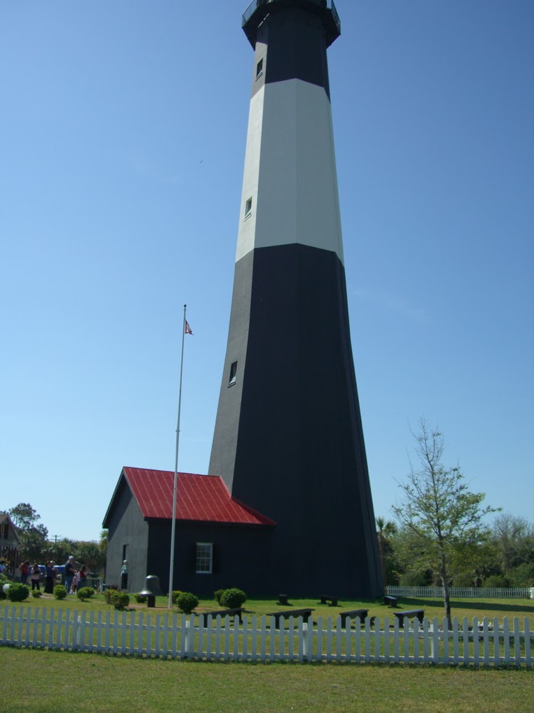
My first stop of the day was Kitwanga where there is a side road that goes through ‘town’ and loops back to the Cassiar. I took this loop road because it announced a nearby Parks Canada site of a First Nations battleground. I enjoyed the walk down to and up the hill.
Lunch was had at a pull-out just before Smithers and then I headed to my destination for the night, an RV park just east of Houston, 300km shy of Prince George. I followed the signs for the park, all of which proclaimed it was open… except for the one after the last turn that ended in a shut gate.
I found myself in a situation not unlike that back in Manitoba, caught in a turn where I couldn’t unhook. This time, backing up with the toad and doing a million point turn wasn’t even an option seeing as the road was very narrow and bordered by ditches. The only possibility I could see was to cross a culvert and turn around in a big field. I got out and checked the culvert, finding it sturdy. The field was pot holey and definitely not a place I would have voluntarily taken Miranada and the toad into, but I felt confident that I could get turned around without doing any damage or having to unhook. I was right. Whew!!!
With all of that, I forgot that I was low on fuel and left civilization without gassing up. 50km from Houston, I woke up in that regard and realised that I was staring at a bunch of long uphill stretches with no gas in sight and a gas gauge needle dipping deeply into the red. This was the first time I have ever come close to running out of gas and I figured I’d used up all my luck for the day. Both the GPS and the Milepost were in agreement that the nearest gas station in either direction was too far away.
So, you can imagine that when I saw a sign in the distance announcing gas, I thought it was a mirage. 😀
As it turns out, it was a pump on a native reserve, not a proper gas station. But there was a sign announcing prices for status and non-status folks, so I figured I could gas up there. The pump was in the middle of a perfectly-sized roundabout, full-serviced, and offered the cheapest gas I’d seen since Whitehorse (1.03).
I wound up being there almost an hour seeing as my credit card would not go through after several attempts. I called the company to see if there was a security hold on the card, but no. The very helpful person I spoke to suggested that the problem might be with the POS terminal, not my card. The attendant was a young gal fairly new on the job and I coached her on how to call for POS support. Sure enough, there was a glitch with their system and she was walked through the process of resetting the terminal. My card went through fine after. Had the problem been on my end, I would have used an alternate method of payment, but since the problem was theirs and it was more convenient to pay with my credit card than with another method I had no problem with the time the transaction took. Moreover, I think I did the girl a favour showing her what I knew about POS machines.
Like the day before, I pushed on in search of a non-advertised RV park or other legal overnighting option, but found none. I reached the end of the Cassiar and turned east onto Yellowhead highway 16, which also does not permit boondocking. Here, the reason is obvious with frequent billboards reminding people, especially women, that the road is nicknamed ‘The Highway of Tears’ because many young women have disappeared on it. There is a strong possibility that a serial killer is stalking this desolate stretch of highway.
The sun was very low in the sky by the time I passed Vanderhoof, so I decided to just take the plunge and limped all the way to the Walmart in Prince George, covering in total that day more than seven hundred kilometres!
There were signs at the Walmart that overnight parking is not permitted, but there were so many RVs parked that I just ignored the signs. I’m such a rebel!!!
It was COLD in Prince George and I turned on the furnace for the first time. It would have been nice the other nights, but this night it was no luxury.
I didn’t sleep at all; it was just too light, noisy, and COLD. I was cranky and just wanted to get out of civilization. Last time I was in Prince George I stayed for a few days at Les Doll’s place, but that detour didn’t fit in with my itinerary this time around. I instead decided to go back to the Chasm and spend two nights there.
The morning was spent running errands, including a quick run into Canadian Tire where I actually ran into Les. What are the odds?!
It was sooo good to be back on the road, even with the construction coming out of Prince George. It was nice in a way to be back in familiar territory, especially since I was out of fresh water and driving with full black and grey tanks. My first stop of the day was going to be Quesnel, which has some of the best RV facilities in the west; a large day parking area, dump station, and potable water pump, all free. Taking on water was fine, but my holding tanks were frozen solid!
From Quesnel, I drove straight back to the Chasm, knowing I was racing the light. I pulled into the turnoff at bang on six. The turnoff was in worse shape than it was in the spring, very muddy and without a single level spot. I unhooked and drove Miranda into an area below the turnoff with a couple of fairly level places to park if you don’t mind doing a bit of a dance with your RV to get into the right position. I didn’t mind the work, finding this spot more suitable for a long stay than is the turnoff.
I spent a quiet evening reading and watching a movie. I had a rare good night’s sleep.
The next morning was bright and cold… and my fresh water tank was frozen solid. I had to laugh. I grabbed a bucket and made a couple of trips down to the creek to get some slush to melt for washing purposes and as well as some drinking water from the spring to boil for drinking. Life without amenities suits me, I’ve discovered. Had I not needed to haul water I would have probably not had any exercise that morning.
It was a quiet, homey day, where I got caught up on my sewing (!) and cleaning. Some people walked past Miranda a few times to take in the view of the Chasm, but no one bothered me. I was relaxed and pleased that I was only a day away from the ferry terminal, two days from Croft’s. My journey was practically over and I could relax…

This impressive toadstool was by the side of the Cassiar turnoff


I would not want to run into that guy in the mask in a dark alley…


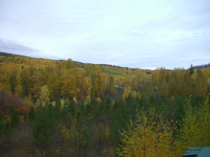
reaching the end of the Cassiar highway


Moricetown Canyon

Moricetown Canyon

lunch stop in Smithers

lunch stop in Smithers

break at a rest area


break at a rest area

in case that’s not clear, the monument to which this plaque is attached features a stone from an English castle reputed to be the birthplace of King Arthur!

Miranda and the toad at the Chasm

the Chasm

truck’s still there from last time…

I love this view…

not a bad spot, really


dawn of one of the worst days of my life